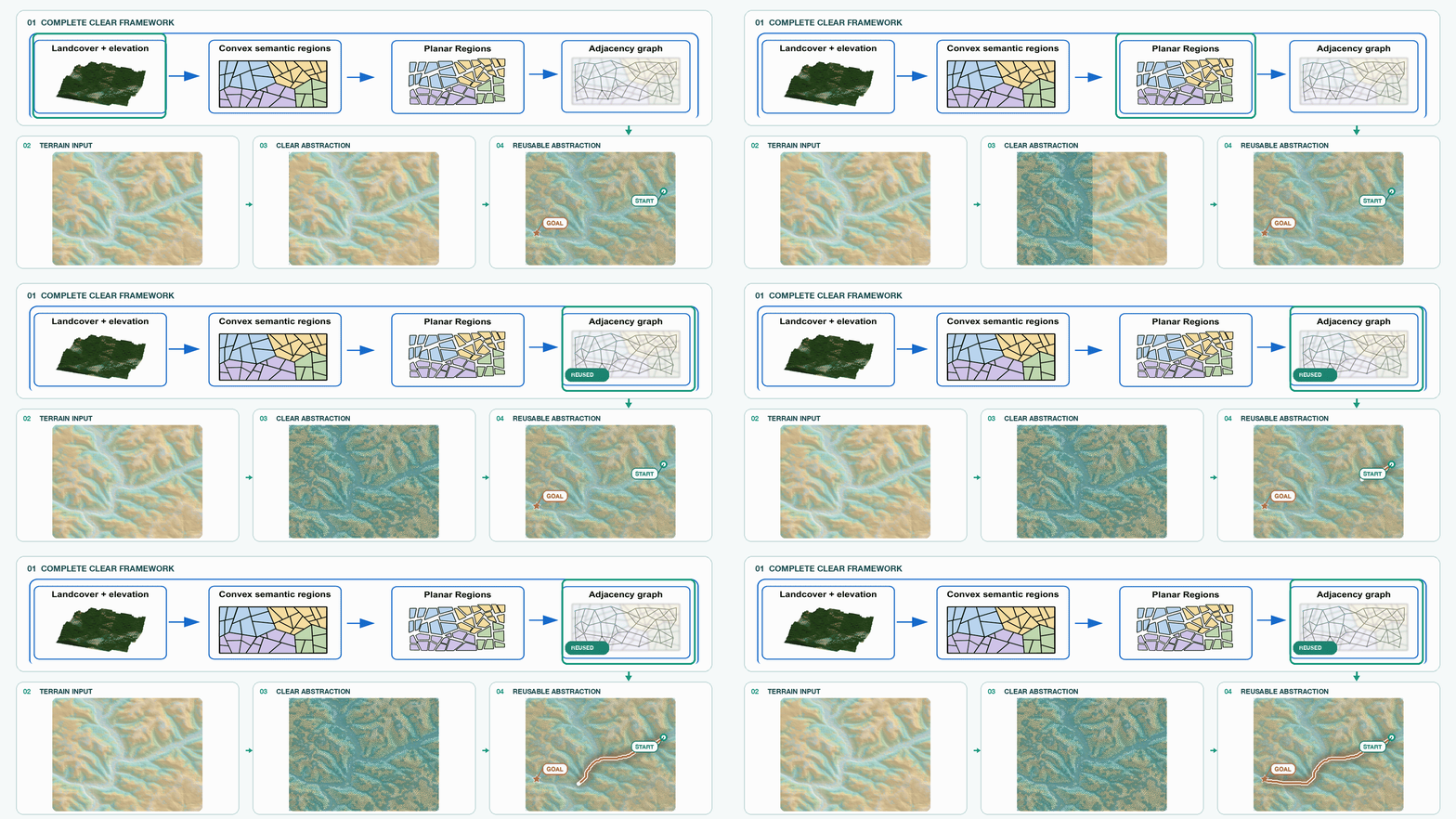
CLEAR supplementary video showing the terrain abstraction and planning pipeline.
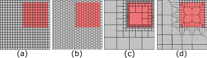
Long-horizon navigation in unstructured environments demands terrain abstractions that scale to tens of square kilometers while preserving semantic and geometric structure. Existing grids scale poorly, while quadtrees can misalign with terrain boundaries and omit landcover semantics that matter for traversability-aware planning.
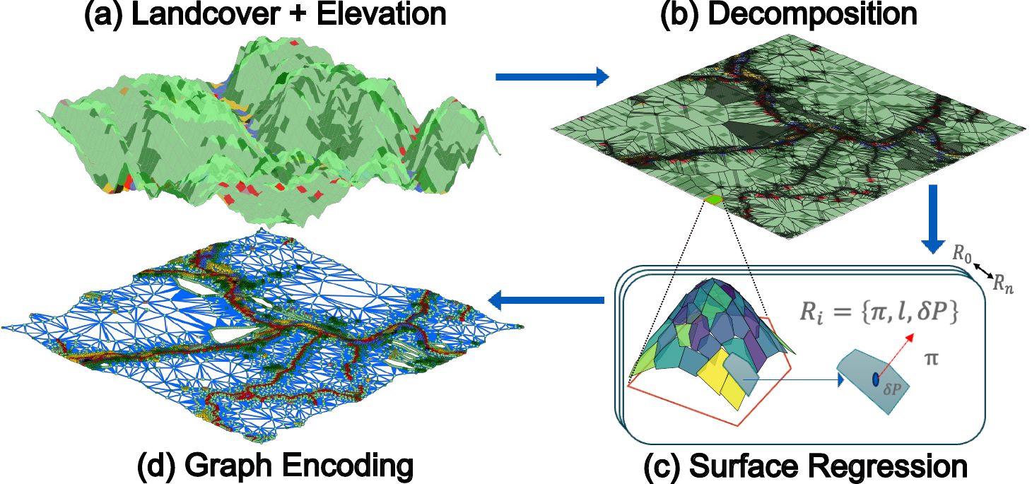
CLEAR addresses the representation problem by constructing a reusable terrain abstraction from landcover and elevation. It produces convex, semantically aligned regions encoded as a terrain-aware graph. Across kilometer-scale maps, CLEAR reduces per-query planning time while preserving executability in physics-based simulation.
CLEAR operates through Boundary-Seed Decomposition, recursive plane fitting, and graph encoding. Boundary-Seed Decomposition places seeds in flat regions and along high-entropy semantic boundaries, then uses Voronoi partitioning to form compact convex regions. Plane fitting approximates elevation within each region and recursively subdivides regions whose error exceeds a tolerance. The final abstraction stores landcover, elevation geometry, convex boundaries, and adjacency for graph search.
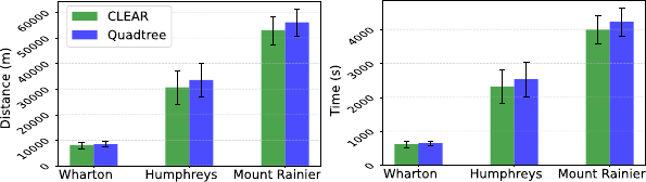
CLEAR is evaluated on 9--100 km2 digital terrain maps with physics-based simulation. It reduces per-query planning time over unabstracted raw-grid A* after one-time abstraction and achieves 100% task completion across the evaluated maps in simulation.
@article{meshram2026clear,
title={CLEAR: A Semantic-Geometric Terrain Abstraction for Large-Scale Unstructured Environments},
author={Meshram, Pranay and Adhivarahan, Charuvahan and Esfahani, Ehsan Tarkesh and Chowdhury, Souma and Wang, Chen and Dantu, Karthik},
journal={arXiv preprint arXiv:2601.13361},
year={2026}
}